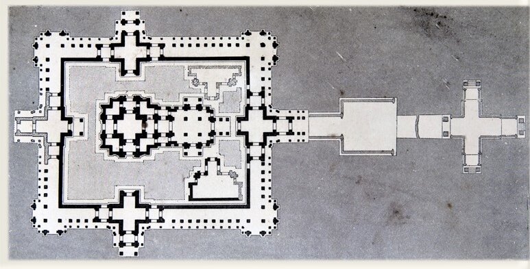
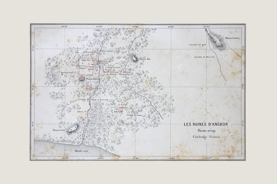
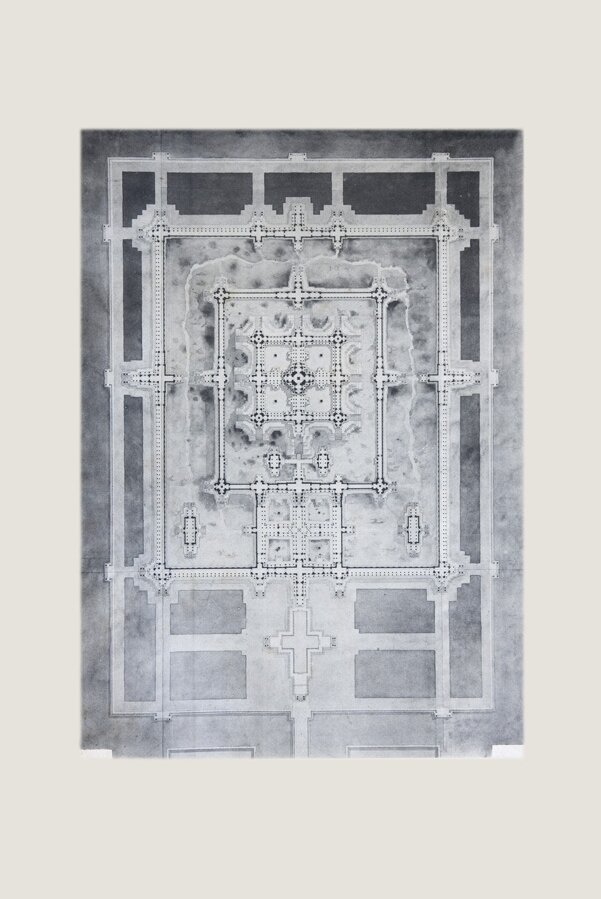
Angkor Plans, Maps, Sketches
The mapping of Angkor Archeological Site in early modern era
Tags: maps & plans, French explorers
Keep reading
Archimages collections of photographs and documents are posted on Angkor Database with their original label codes.
If you wish to obtain high resolution files and/or professional prints for one or several of these images, please email Archimages email hidden; JavaScript is required with the label code(s) in the Subject line, and your requirements (print format, shipping…).
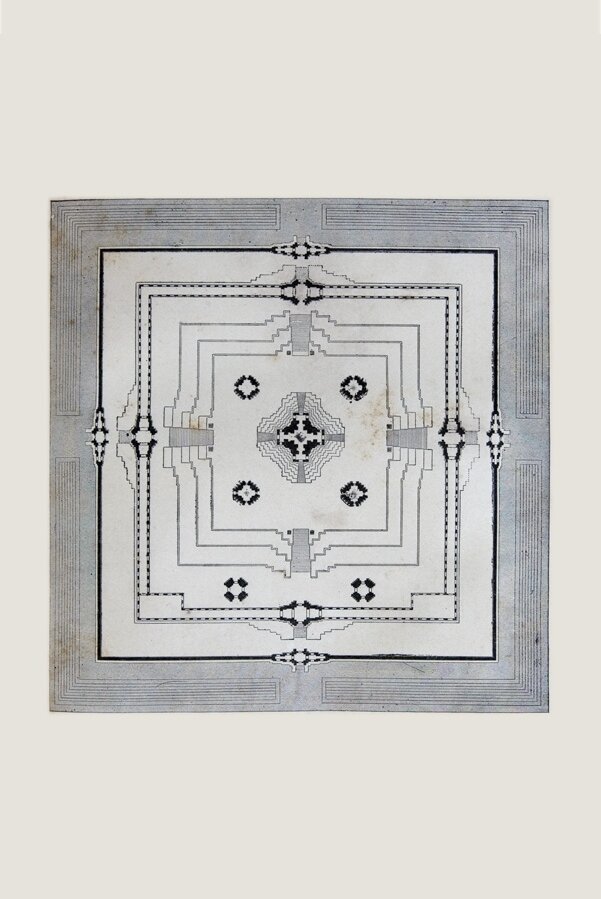
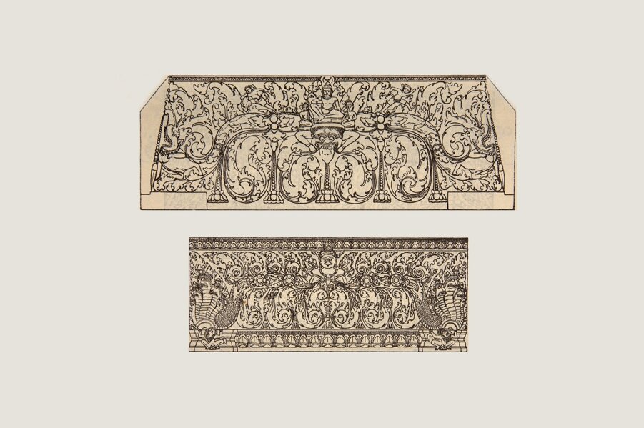
F2593 V11
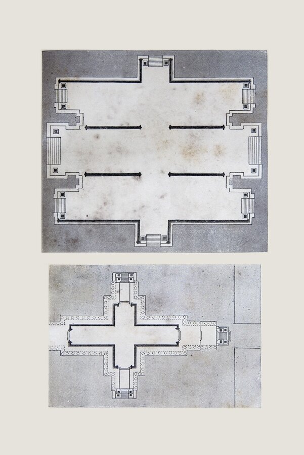
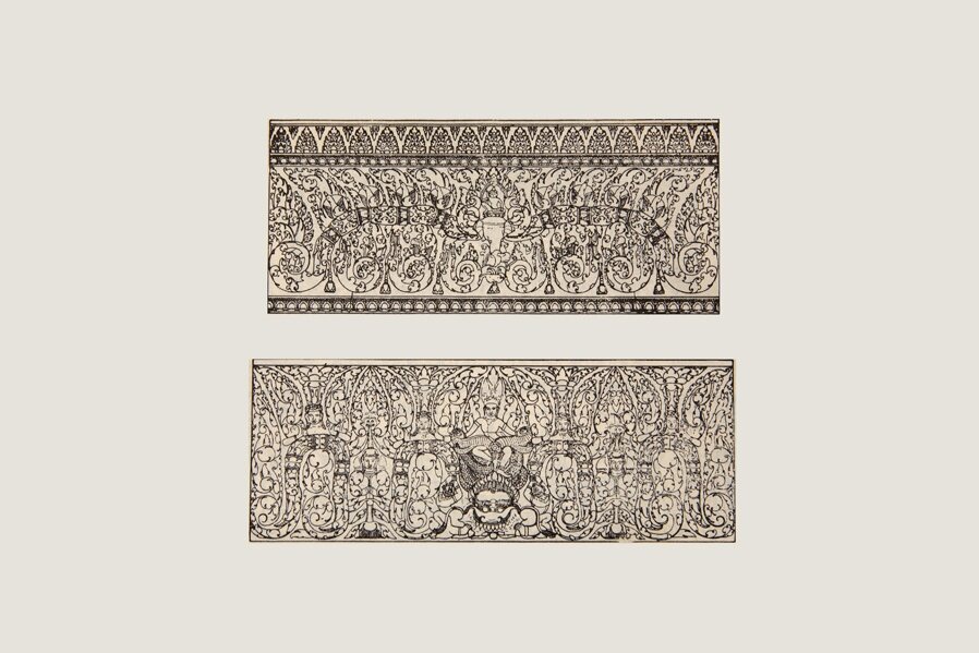
F2593 V13
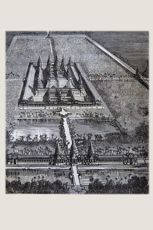
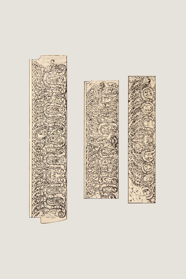
F2593 V14
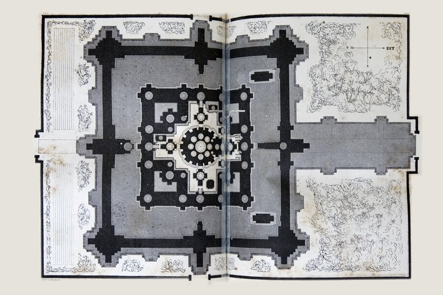
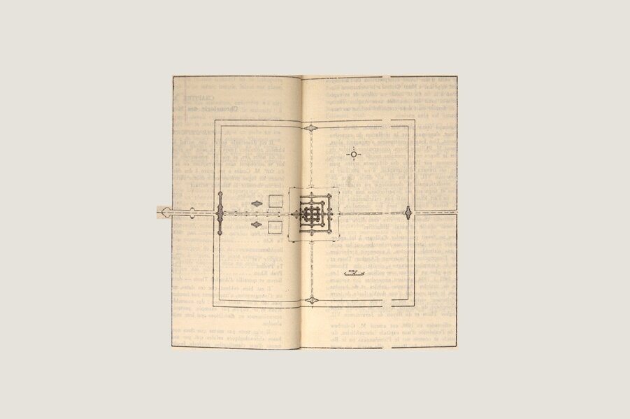
F2593 V29
F2593 V35
F2594 V52
F2594 V57
F2594 V74
F2597 V16
F2597 V44
F2597 V50
F2597 V53
F2635 V06
F3045 V40
F3047 V01
F3051 V02
F3061 V38
F3063 V28
F3063 V63
F3390 V92

F3393 V33
F3397 V42
F3397 V44
F3398 V18
F3398 V19
F3398 V20
F3398 V21
F3398 V22
F3398 V23
F3398 V24
F3398 V25
F3398 V35
F3398 V45
F3398 V46
F3398 V47
F3398 V56
F3398 V57
F3398 V66
F3398 V67
F3399 V05
F3399 V06
F3399 V18
F3399 V19
F3399 V40
F3399 V41
F3399 V51
F3047 V02
F3060 V82