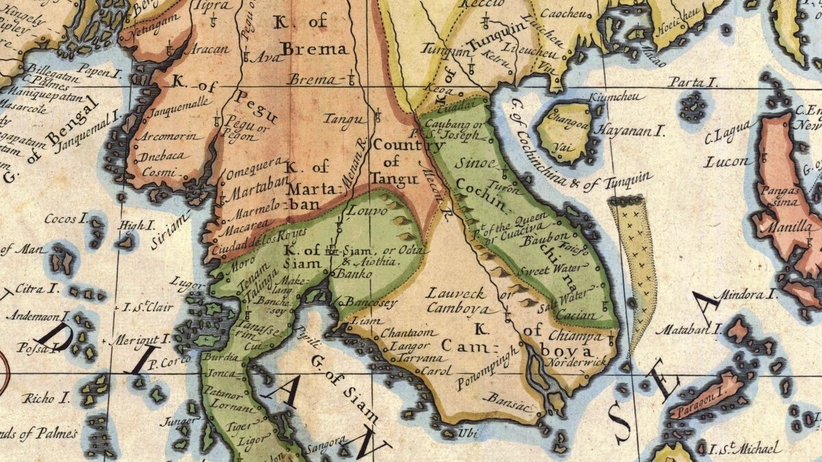
A Collection of pre-1900s Maps of Cambodia
Maps from Dutch, English and French cartographers dating back from the 17th century.

- Published
- April 7th, 2017
To complete this interesting collection, we would like to add the Map of Cambodia/T’Siompa, circa 1660, attributed to the famous Dutch cartographer Johannes Vingboons, online here.
Part of an atlas kept at the British Library, London, with a total of 49 hand-drawn navigational charts and views, all in watercolor, related to the the VOC’s charter area. The British Library bought the Atlas from the library of the Haarlem collector Van der Willigen in 1875.
More about the Aernout Gijsels collection of charts drawn for the Dutch East India Company (Vereenigde Oostindische Compagnie,“VOC”): Barend Jan Terwiel, “An Early Dutch Map Depicting the Arrival of a Diplomatic Mission in Siam”, Journal of the Siam Society, Vol. 106, 2018, pp 129 – 142.
Photo: A 1718 Map of Southeast Asia issued in London, UK.
Tags: maps & plans, cartography, Siam, Cambodia, Annam, Champa, Chenla, Dutch, Dutch trade
